Villages in Nottinghamshire: From the Trent Valley to Sherwood Forest
Nottinghamshire's villages are more varied than the size of the county would suggest, because a river, a forest and the coal underground each left their mark. The county covers about 2,160 square kilometers, yet within that modest area farmland gives way to what remains of an ancient forest and to landscapes formed by industry. Where do these contrasts come from, and what should you look for in each part? This guide goes through them one by one, starting in the Trent valley, moving on through Sherwood Forest and ending in the north.
How Do the Villages Fit into the County?
Nottinghamshire is one county, but for administration it is divided into eight local authority areas, including Bassetlaw, Newark and Sherwood, Rushcliffe and Mansfield. Those borders do not always follow the lay of the land. When you want to understand a village, the landscape around it often says more than the district it sits in.
For this guide we sort the county into three parts: the Trent valley, Sherwood Forest, and the north with its former mining villages. Each has its own landscape, which gives the villages there a different setting. That split gives the guide a frame and lets us describe the villages without guessing. The sections below take each part in turn, and afterward we look at how knowing these landscapes can help you plan a trip through the county.
The Trent Valley: A Wide River and Open Fields
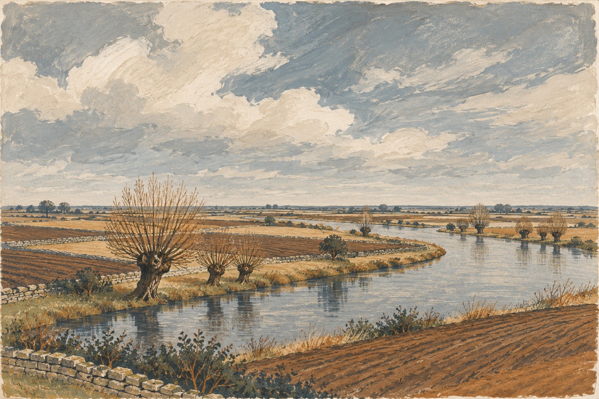
The River Trent flows through a broad valley that crosses the county from the southwest to the northeast. Much of the eastern valley is farmland, which makes it a good place to see the county's agricultural side. Fields form the backdrop for the villages here, and the river is a handy landmark as you travel. Following the Trent also helps you get your bearings in the wider county, since Sherwood Forest lies north of the river and the northern edge of the county sits on the Humberhead Levels. That makes the valley a natural starting point, giving you a clear mental map from the outset.
Sherwood Forest: What Is Left of Ancient Oak Woodland
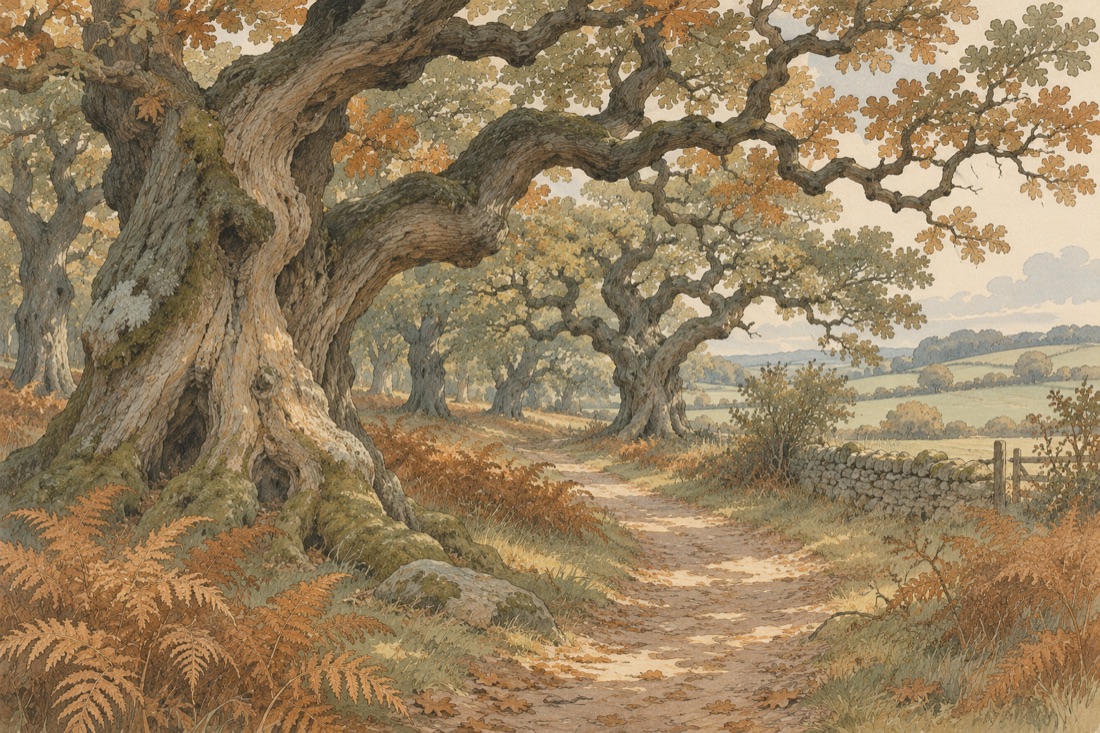
North of the Trent, in the middle of the county, is Sherwood Forest, a surviving stretch of ancient oak woodland. Nearby villages sit in a very different setting from those in the farming country of the eastern valley, because what remains of the old forest shapes their surroundings. The forest also gives its name to the local authority area of Newark and Sherwood, which shows how much it matters to the county. Its central position makes it an easy base for trips north or back toward the Trent valley. If you have already seen the villages of the agricultural east, you will notice the change in scenery as soon as you leave the valley and head for the forest.
Former Mining Villages: Traces of the Collieries in the North
The north of the county lies on the Humberhead Levels, where the main coal measures are found. The seams reach up to 900 meters thick, and deep collieries opened in the eighteenth and nineteenth centuries. No mine is working today, which is why the settlements here are called former mining villages.
In the northwest of the county, a belt of former mining settlements runs toward the Yorkshire border. This is the county's third distinct landscape. Without visiting individual villages, it is hard to say much about their buildings. A safer way to describe them is through what we do know: the lowland setting, the coal measures below and the deep collieries of the eighteenth and nineteenth centuries. The story did not end when the mines closed, because that industrial heritage still shapes the identity of the county's north. These villages are places where you can read the area's working past.
What Else Is Worth Seeing in the County?
Besides its countryside, Nottinghamshire has historic buildings that help define its character. Southwell Minster is an example of the austere Romanesque style, also called Norman. Work on the nave began after 1120, and the church was finished around 1150, in the middle of the twelfth century.
Another landmark is Newstead, the ancestral home of the poet Lord Byron, who sold the estate in 1818. It is known as an abbey, but it was in fact a priory. That detail is a reminder that a name does not always match a place's history, and such points are worth checking before you set out.
How to Read Nottinghamshire's Villages on a Trip
Begin by working out which landscape you are in. Farmland dominates along the Trent, Sherwood Forest occupies the center, and former mining settlements spread across the north. Keeping those three zones in mind helps you plan a day without mixing very different landscapes into one route. You could spend one day in the Trent valley enjoying its farmland views, then give the next to the area around Sherwood Forest. Another day could take you north to look for the traces of the collieries. Sights such as Southwell Minster and Newstead can be added to the itinerary as extra stops.
Nottinghamshire's villages have no single, uniform character, and that variety is their greatest strength. Together the Trent valley, Sherwood Forest and the former mining villages tell the story of the county. We invite you to explore them one after another and to get to know each part as you move from one landscape to the next.